Our Services
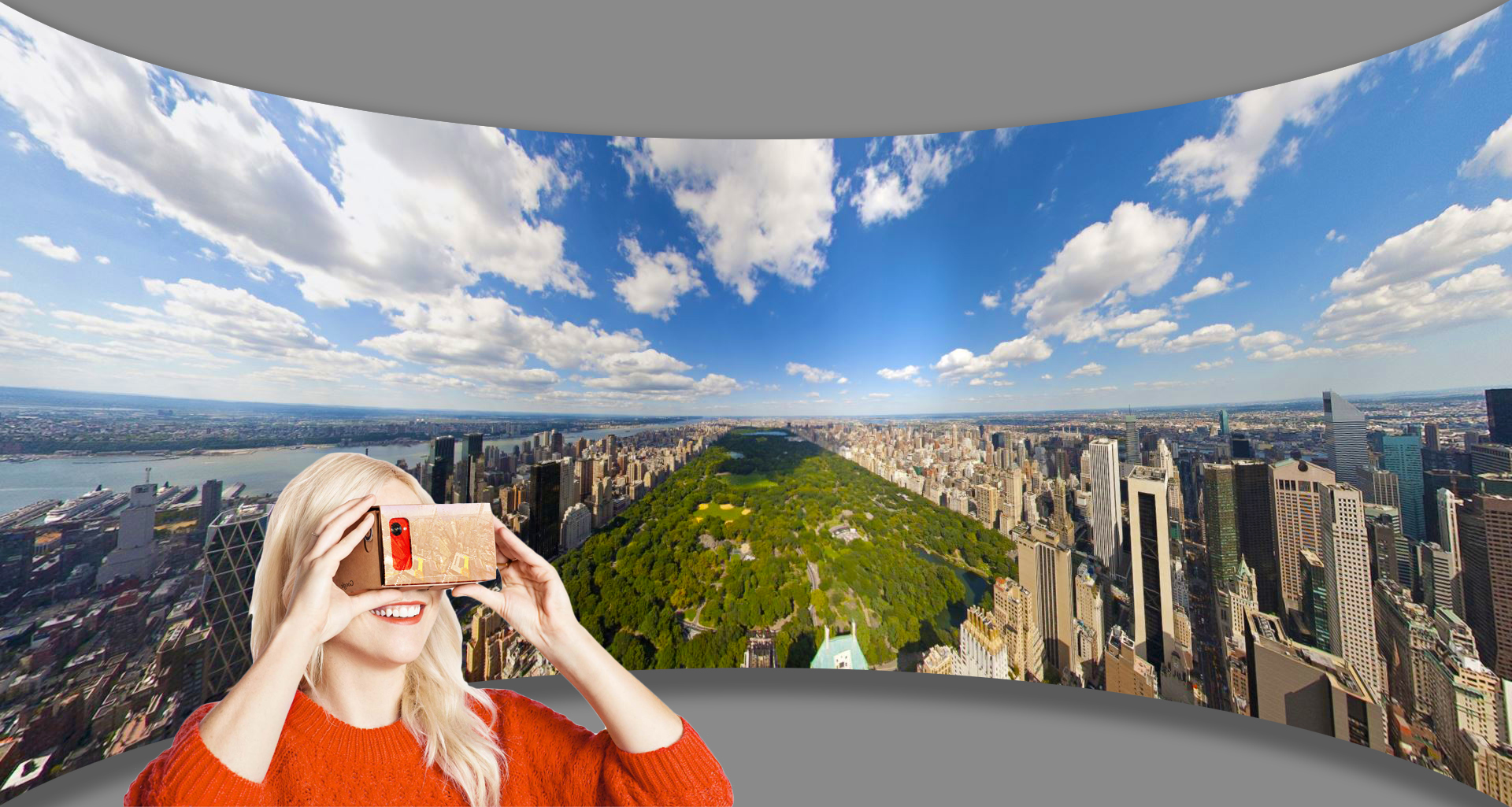
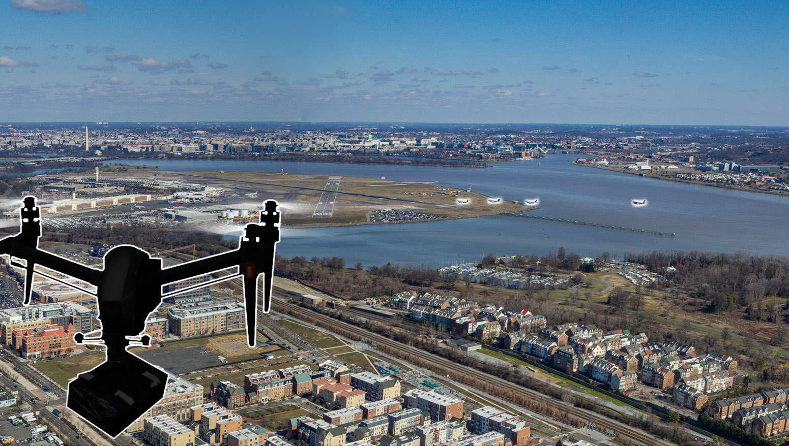
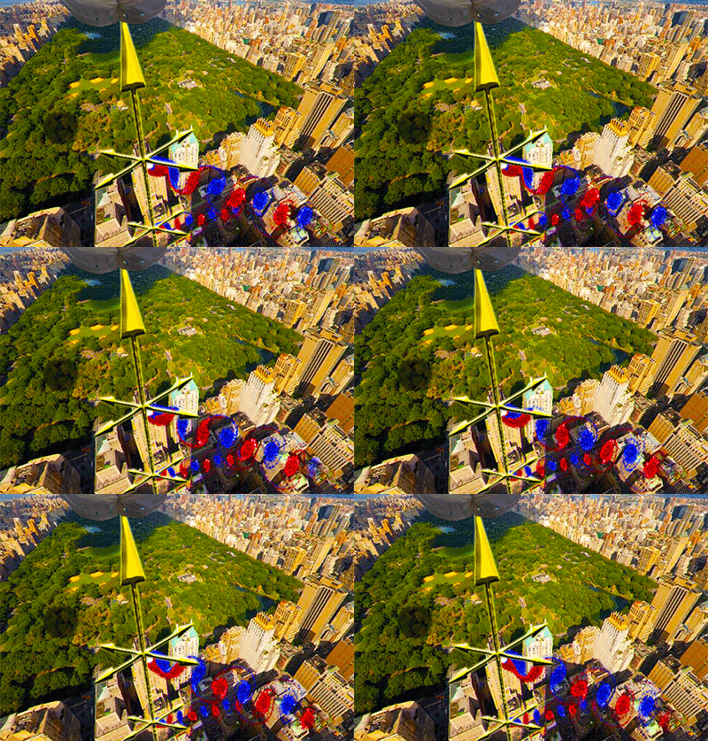
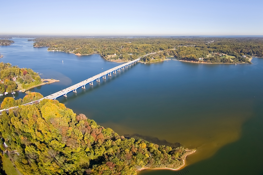
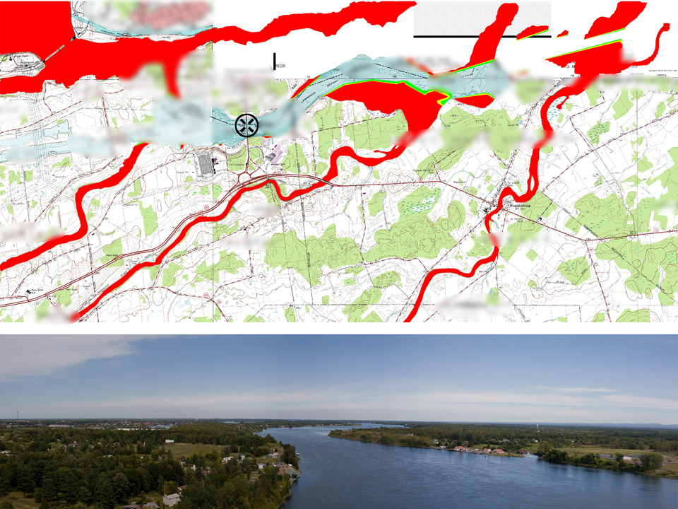
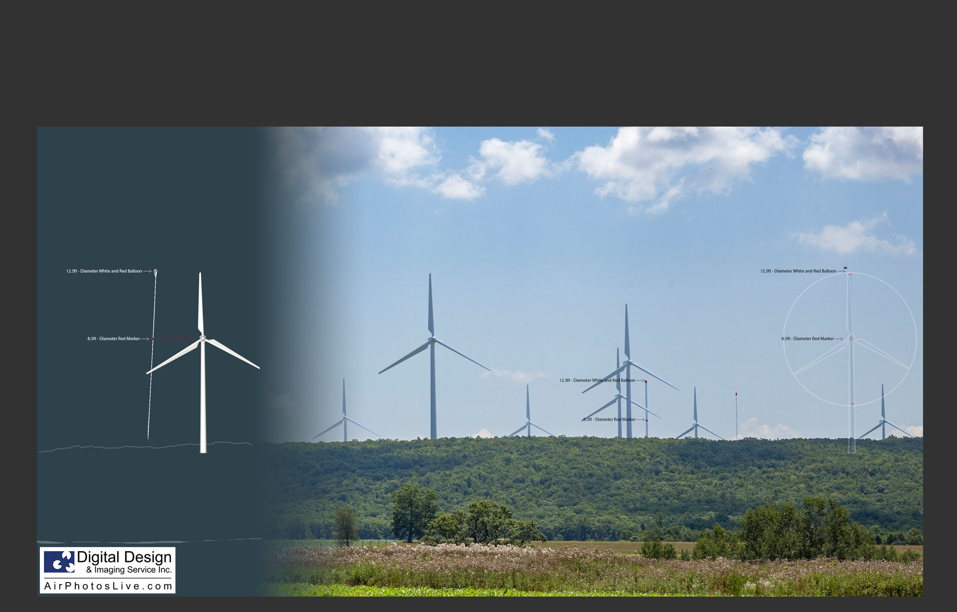
DDIS specializes in capturing and analyzing aerial photography as a means to produce visual impact studies, viewshed surveys, and more. We use tethered balloons, telescopic masts, fixed-wings, and multi-rotor drones to capture photographic viewshed studies and time-lapse data. Our annotated overlays, cross-sections, 3D CAD data, and height-specific 360° views, are used for marketing, zoning, site planning, and architectural design. With 20+ years of professional experience and various aerial platform inventions, we are able to access highly restricted, urban airspace, when others commercial entities cannot. We have captured 360° panoramas for many of the tallest proposed buildings across the US.
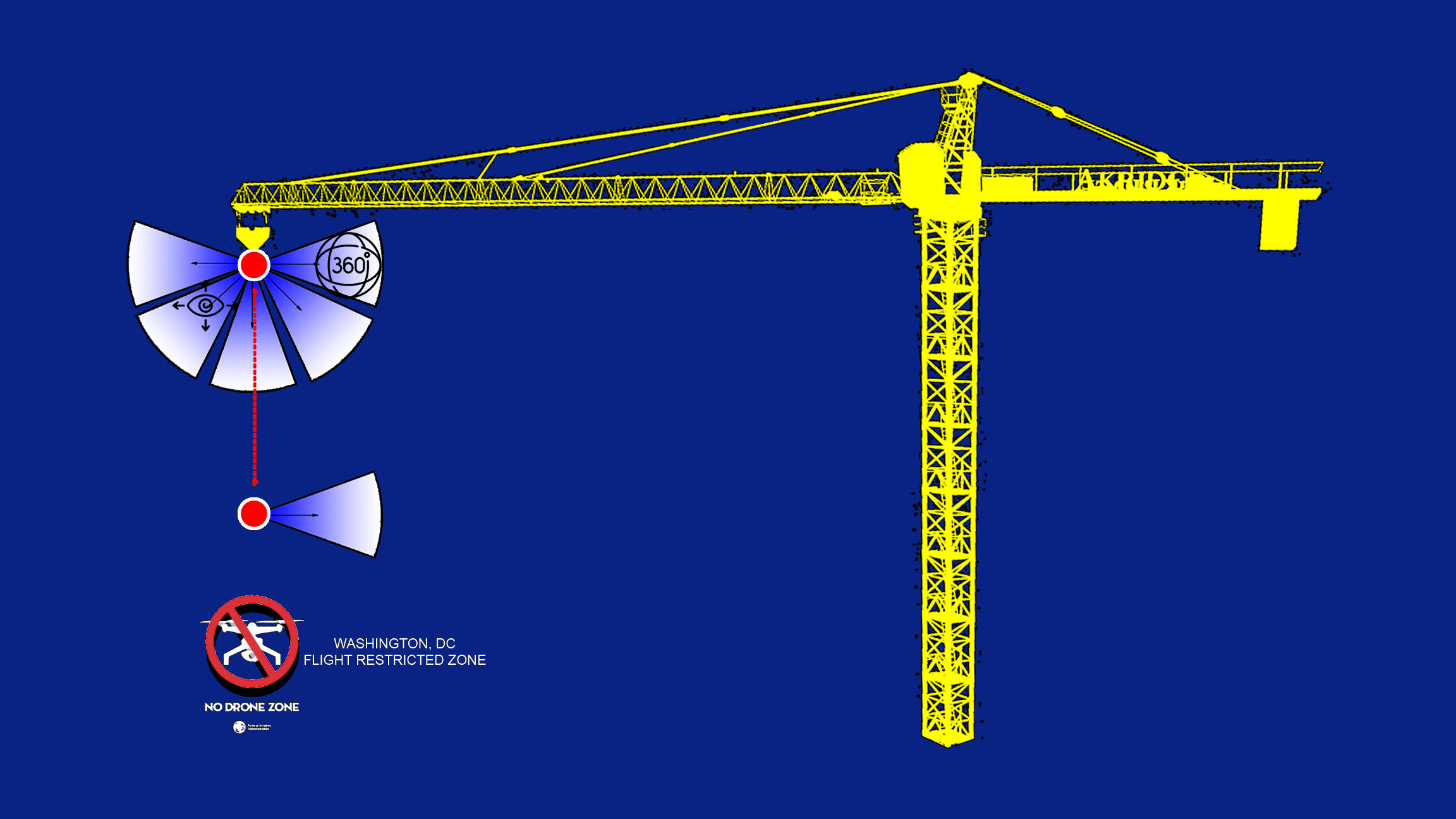
360 Degree / aerial photography / aerostat / drone photography / Line-Of-Sight / Marketing / multi-rotor / quadcopter / Services / Simulation / UAS / Visual Impact / Viewshed Study / Crane-Mounted Camera
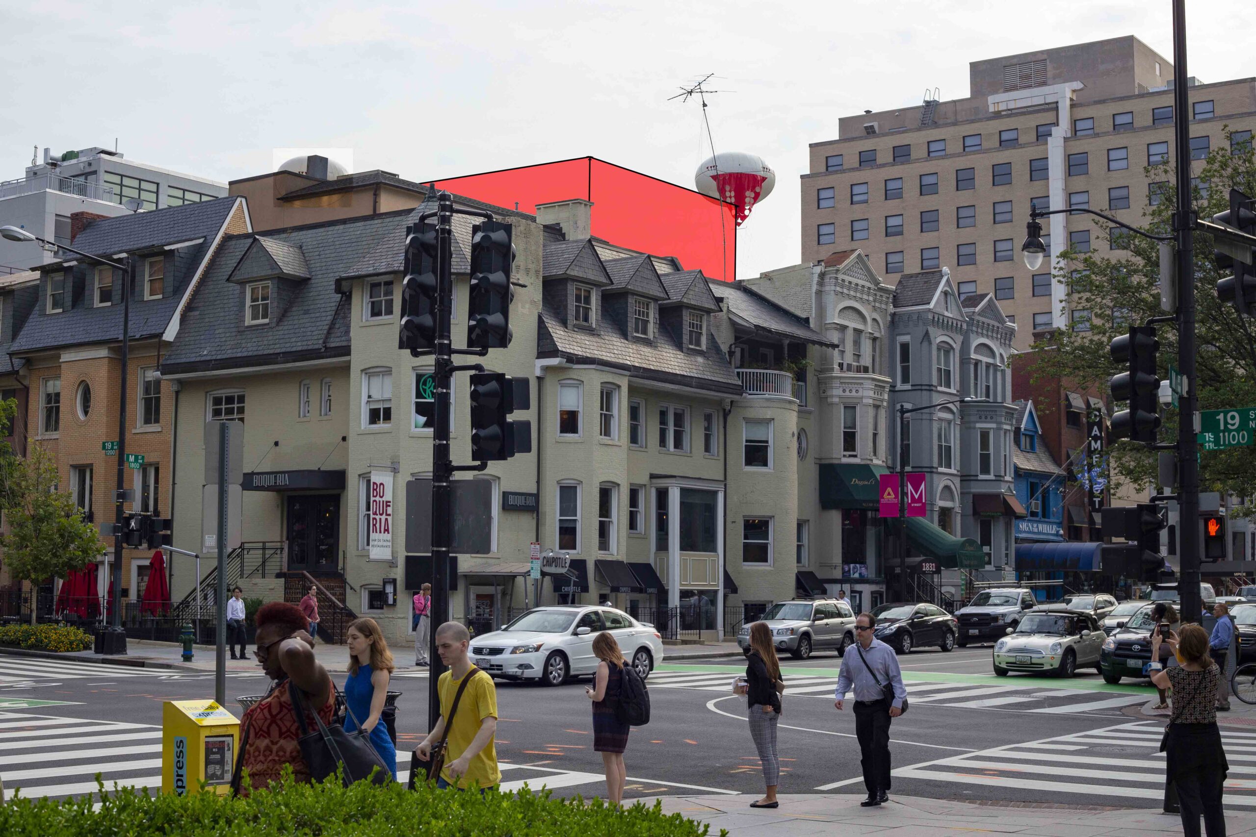
aerostat / Balloon Test / Line-Of-Sight / Services / Simulation / Visual Impact / Drones / Mitigation / Camouflage / RLOS / Reverse Line-of-Sight
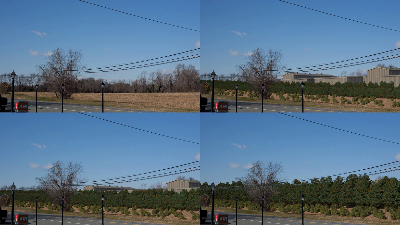
Substations / Water Towers / Turbines / Utilities / Wind Farms / Data Centers / Transmission Lines / Telecom Towers / Pump Stations
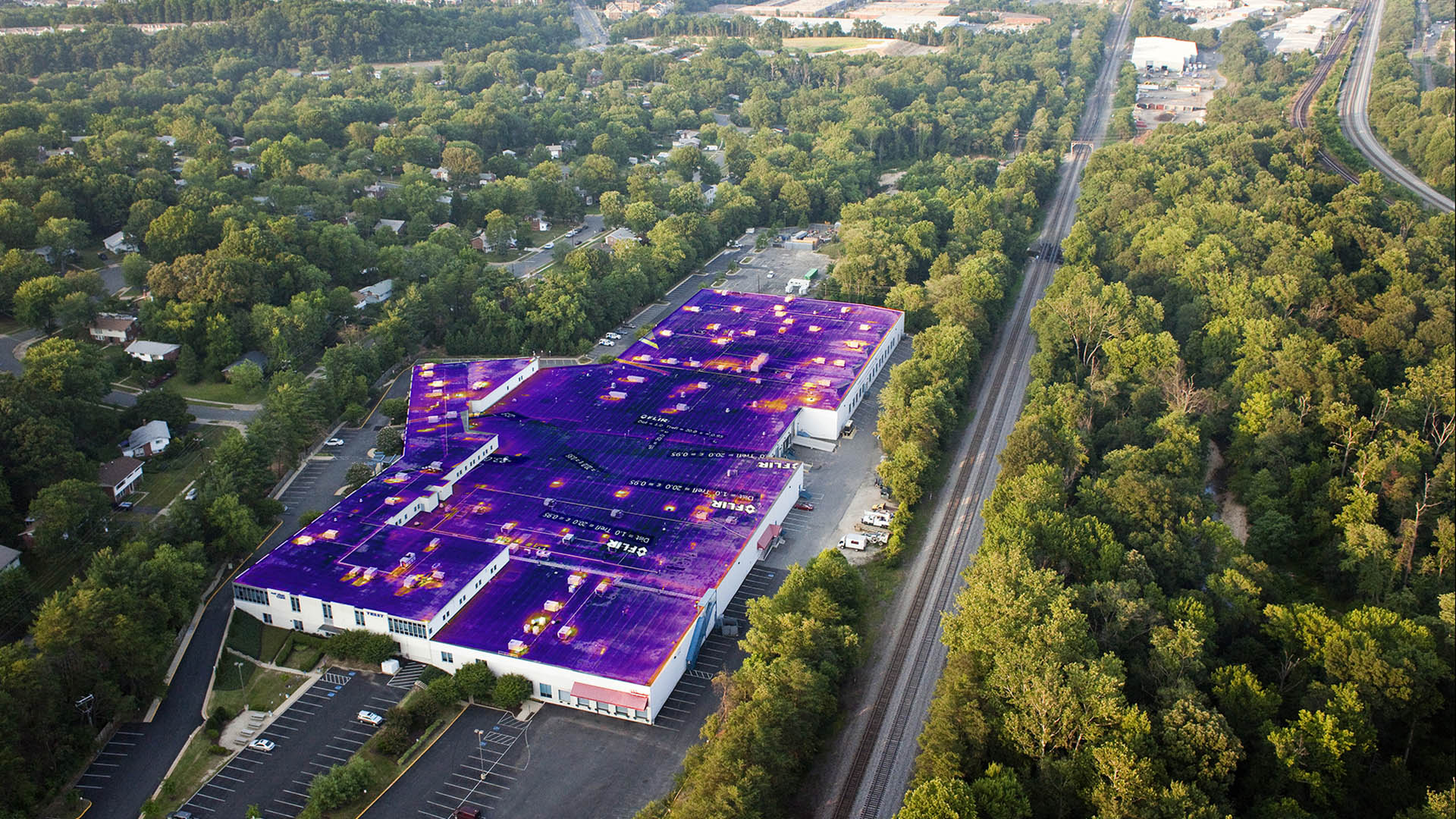
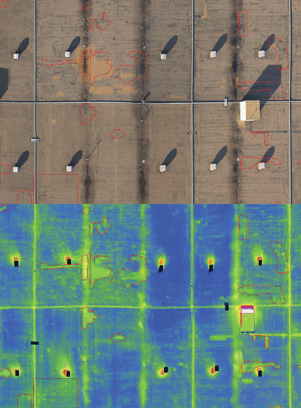
Aerial Photography / Audit / drone / environmental / IR / Services / Thermal / Thermography / UAS / UAV
aerostat / drone / Services / Surveillance / UAS / UAV
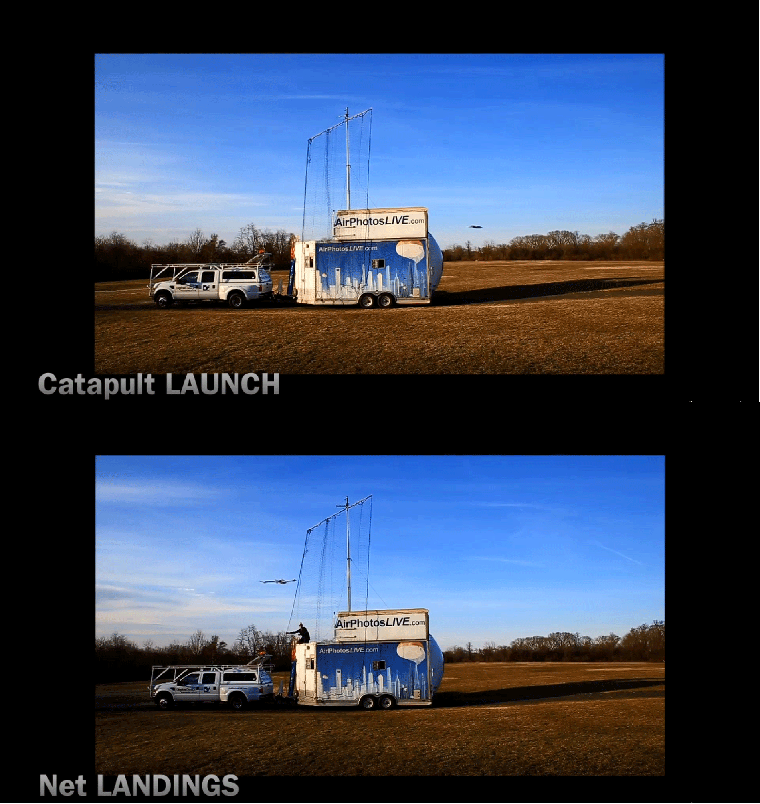
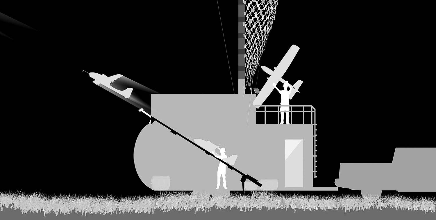
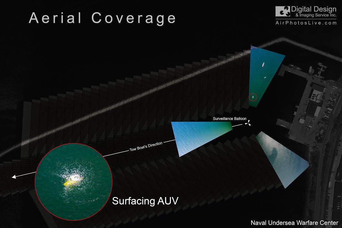
aerostat / drone / Services / Surveillance / UAS / UAV / Range Boosting / Launch / Recovery / Testing
aerostat / drone / Services / Surveillance / UAS / UAV / Range Boosting / Launch / Recovery / Testing / Hardware / Turn-Key / Trailer
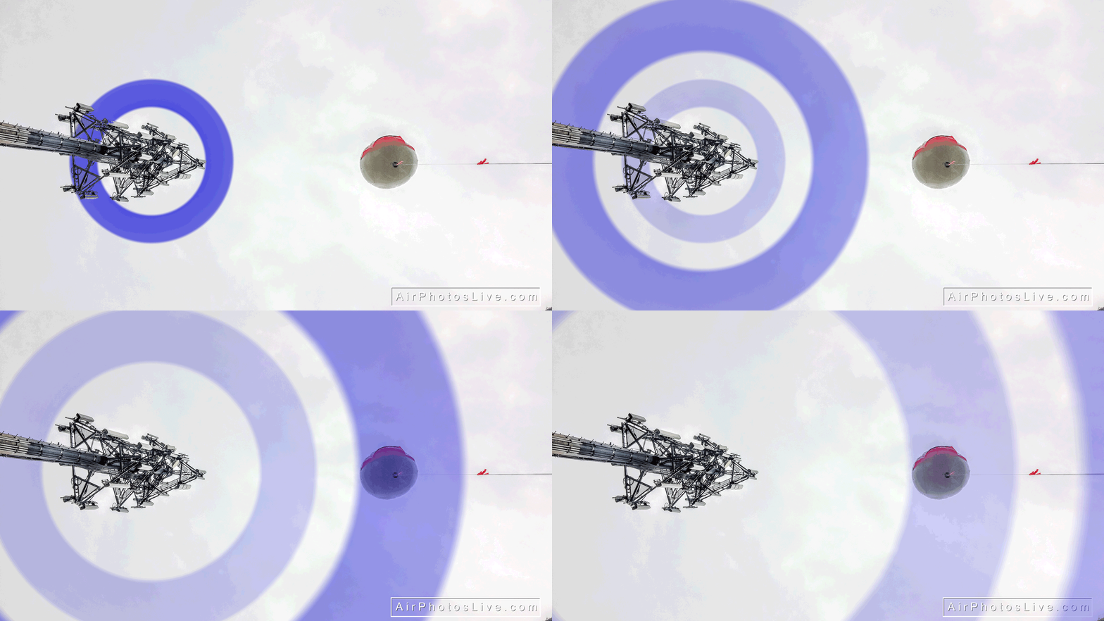
Audit / Balloon Test / environmental / RF / Services / spectrum
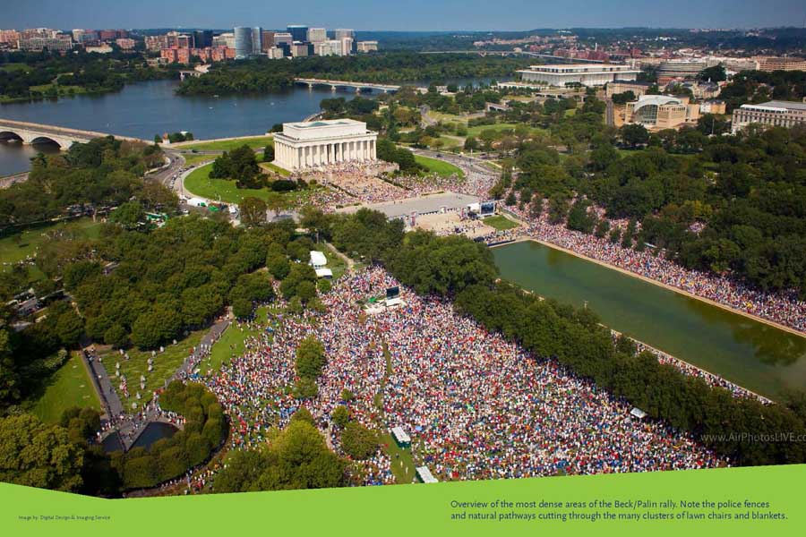
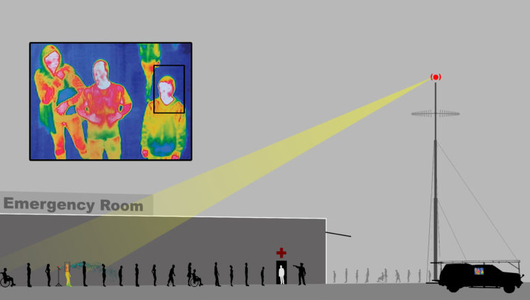
aerostat / Crowd Analysis / Crowd Count / emergency Management / Services
aerostat / Construction / Documentation / environmental / Services / Visual Impact
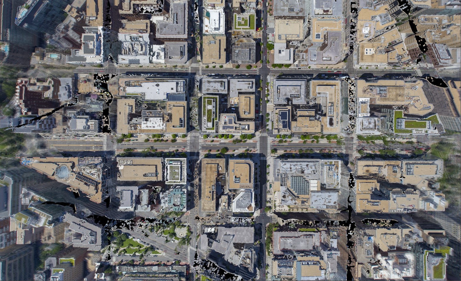
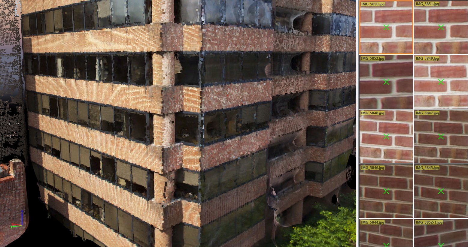
Mapping / Services / Construction / photogrammetry / Point Clouds / Waypoints / Grids / Orthorectified
aerostat / drone / Services / Facade / inspection / local 11 / FISP
aerostat / Drone / Solar Farm / Solar Panel / Inspection / environmental / Services /
emergency Management / mapping / Hurricane / Earthquake/
emergency Management / maritime / Services / Surveillance / Thermal
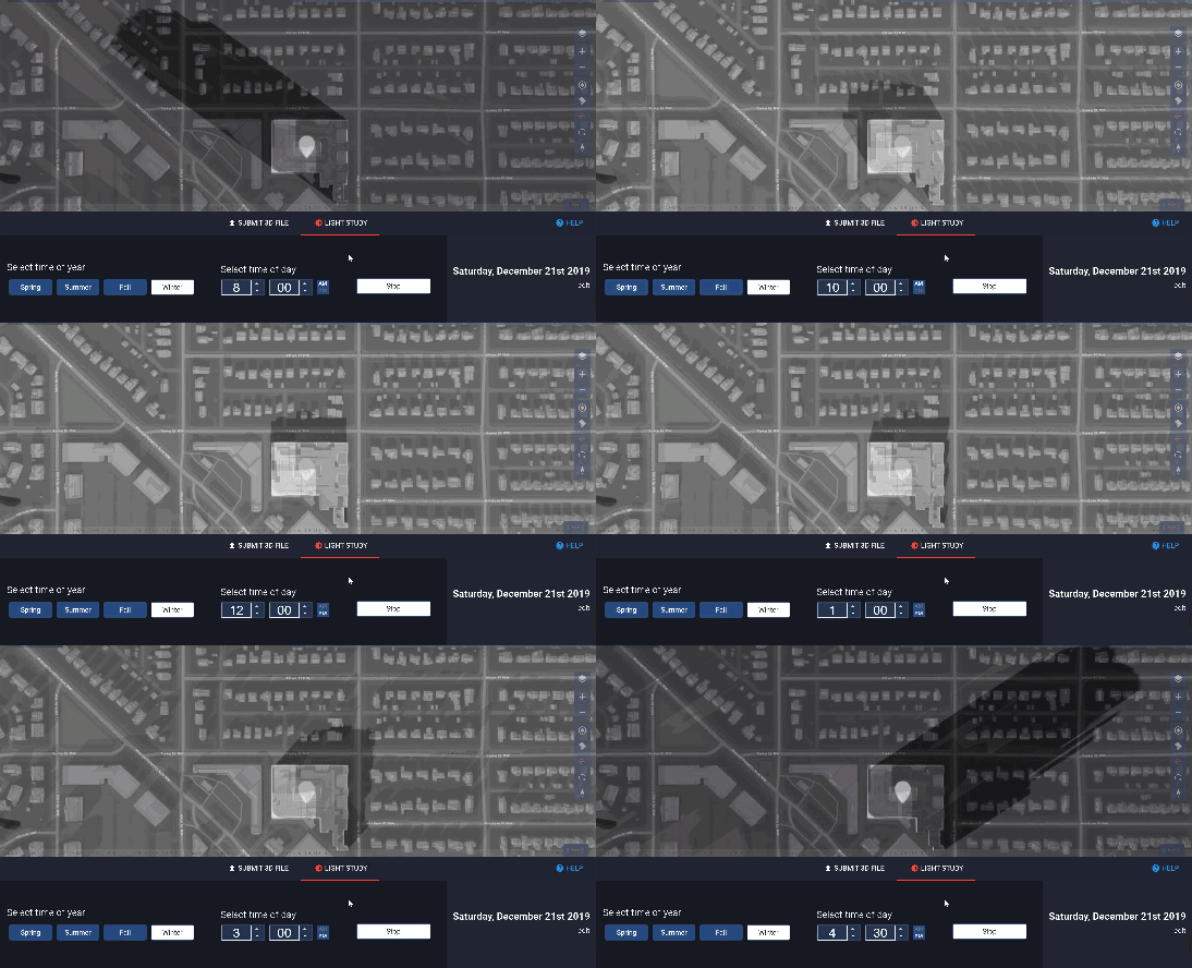
Light Pollution / Services / Shadow Study / Simulation / Solar Impact
aerostat / balloon / environmental / pollution / Services / Sound / analysis / microclimate / Wind
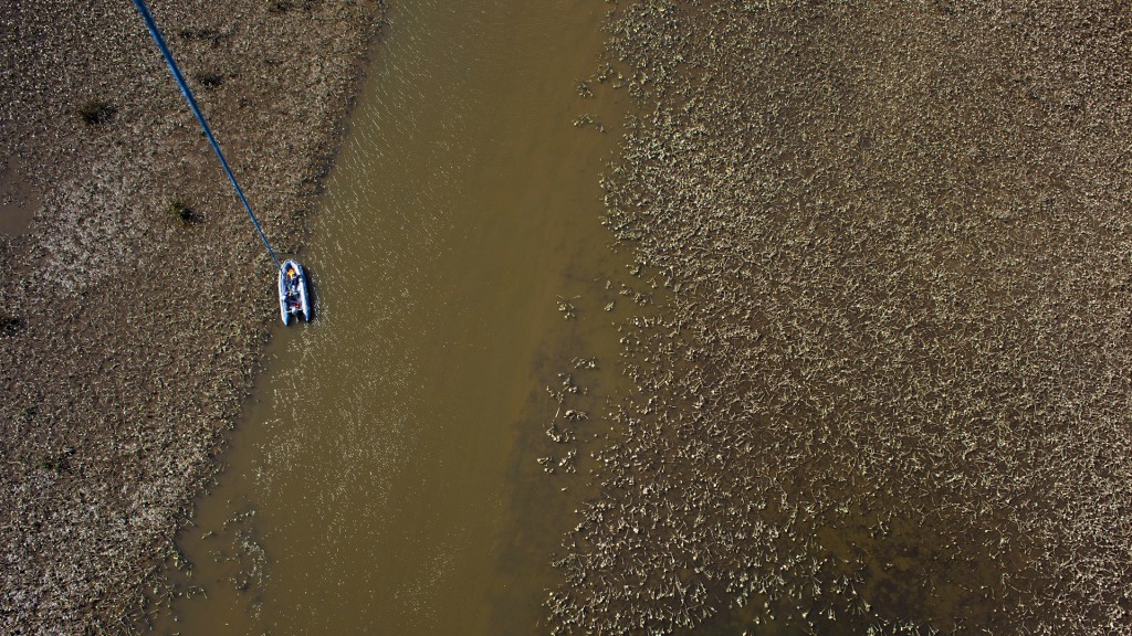
aerostat / Environmental Pollution / maritime / oil spill / Services / Surveillance / Thermal
Audit / Coronavirus / Covid-19 / emergency Management / Infrared (IR) / IR / Services / Thermal
aerostat / Line-Of-Sight / Security / Services / Surveillance/ Drone
aerostat / balloon / Drone / environmental / NASA-Partner / Cloud particle Analysis / RF Spectrum / DISA / Propagation Loss Modelling / SBIR / Science / Engineering

