Balloon Tests, Drone Tests and Visual Impact Services
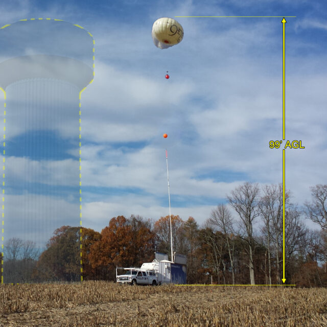
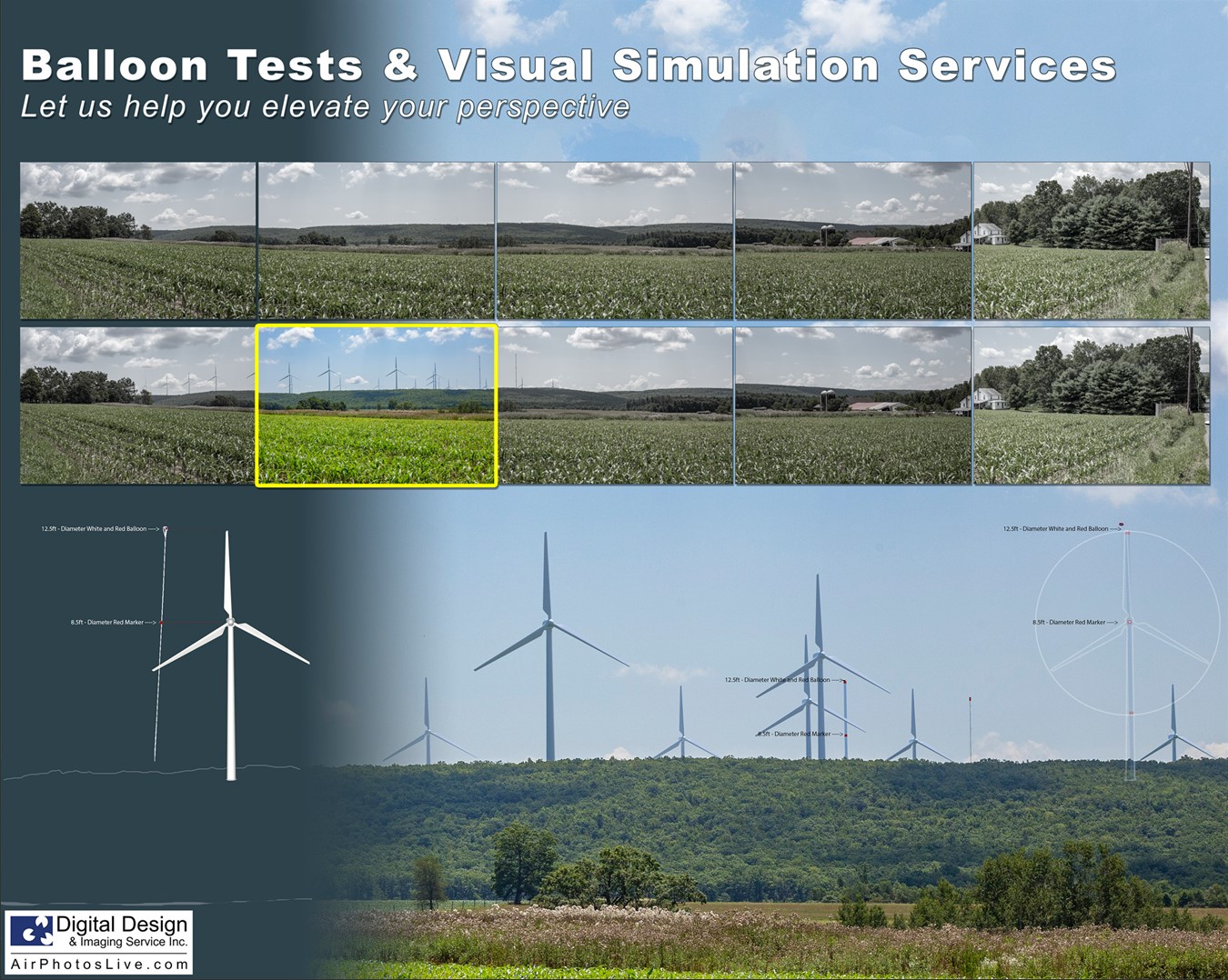
Whether for mitigation, zoning, or marketing, DDIS offers both public and private balloon tests to help our Clients (and the public) understand a proposed tall structure’s visual impact in the landscape.
These required tests must comply with specific balloon test performance criteria and simulation guidelines of the National Park Service, the Bureau of Land Management, and most zoning authorities. Our services exceed these requirements. These tests are often needed for structures ranging from utility infrastructures (power lines, water tanks, and cell towers) to skyscrapers.
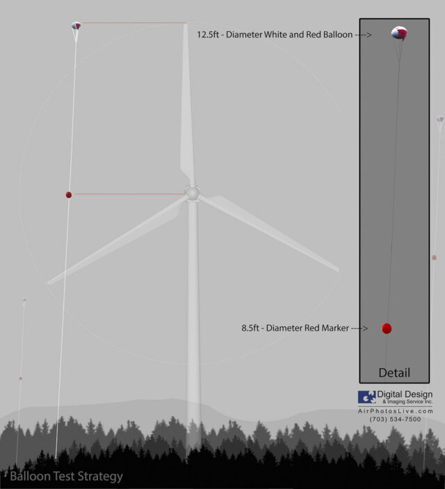
Depending on the scale of a project, DDIS uses our 12ft-wide custom aerostats, our 60ft mast, our launch trailer, or ground markings to indicate the location and height of the proposed tower or structure. During the balloon tests, we utilize professional photographers to document the visibility of the balloon from key public areas within the adjacent community, per accepted industry standards. Accurate laser range finder height and GPS readings for both the balloon and the camera are recorded for each photo. A standard balloon test usually consists of these above discussed photographic documentation, a photo location map, an unbiased visual impact report, and several photo simulations or renderings of the proposed structure within the scene.
We pride ourselves in the fact that our visual impact study services and resulting reports have been accepted as expert testimony in many Federal, State, and Local court zoning cases over the last 15 years.

- FAA Certificate of Authorizations (federal airspace requirement)
- Cost effective, Replicable, scientific methodology eliminates bias
- Interactive Reverse Line-Of-Sight 360° aerial viewshed imagery
- Multiple aerostats or time lapse images to simulate large structures
- Able to simulate required FAA lighting impacts at night
- Single balloon test can accommodate multiple design alternatives
- Insured. References provided from 15 yrs experience
- Reliable, custom designed equipment
- Expert testimony as a licensed landscape architect
- Expert testimony as a professional photo analyst
- Aerial viewshed maps, model-massing and photorealistic simulations
- We will work closely with a Client’s PR department to ensure good public communication


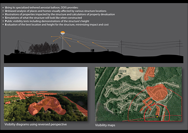
Reverse Line-of-Sight 360° Viewshed Study
Spherical Panoramas are effective tools, which provide 360° degree fields of view from above each sight. By capturing outward-looking images from our camera-cluster at a specific height and location, DDIS is able to determine the visual impact of anything located at that point in space. In other words, if the camera can see you, you can see the camera. This simple concept, paired with our unique aerostat technology allows us to provide quick and comprehensive visual impact studies, saving our Clients, time and money. To give a simple example of its application, a R.L.O.S. is able to effectively create a quick and accurate way of determining which of the surrounding areas would be able to view signage positioned on the new development. Our aerial 360° tours, crane photography, real estate drone photography, balloon photography, and other aerial tools will take your development marketing and analysis to the next level.

Architects, visualization experts, zoning approval boards, and developers all benefit when accurate preliminary massing studies are performed in the field. Specifically, the selection and construction of a new development requires public officials and the local community to fully understand the visual impact trade-offs and design alternatives. To this end, balloon tests and accurate mock-ups are often required to give a general sense of a proposed structure.


