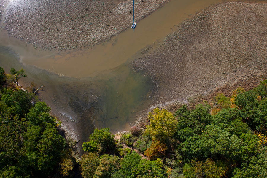
Monitoring for Environmental Pollution
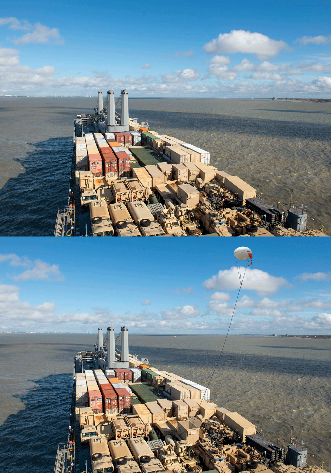
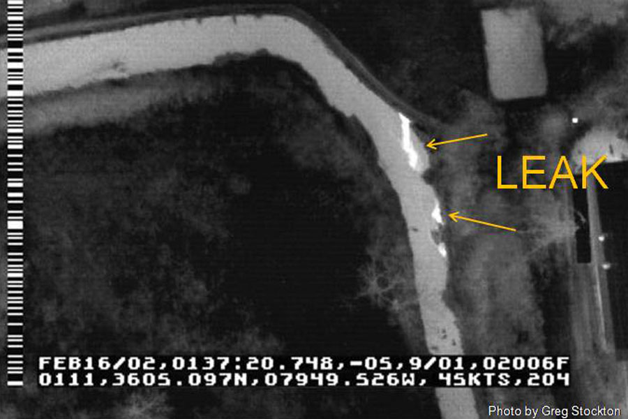
DDIS’ unique moored aerostat technology is perfectly designed to provide long-duration oil spill and environmental pollution monitoring services. Due to it’s modular and scalable design, our rapidly deployed surveillance aerostat camera platforms can be launched from virtually any land or marine vehicles. Unlike helicopters and UAVs, Our technology allows us to provide a low-cost, environmentally green solution for long-duration monitoring over any areas of concern.
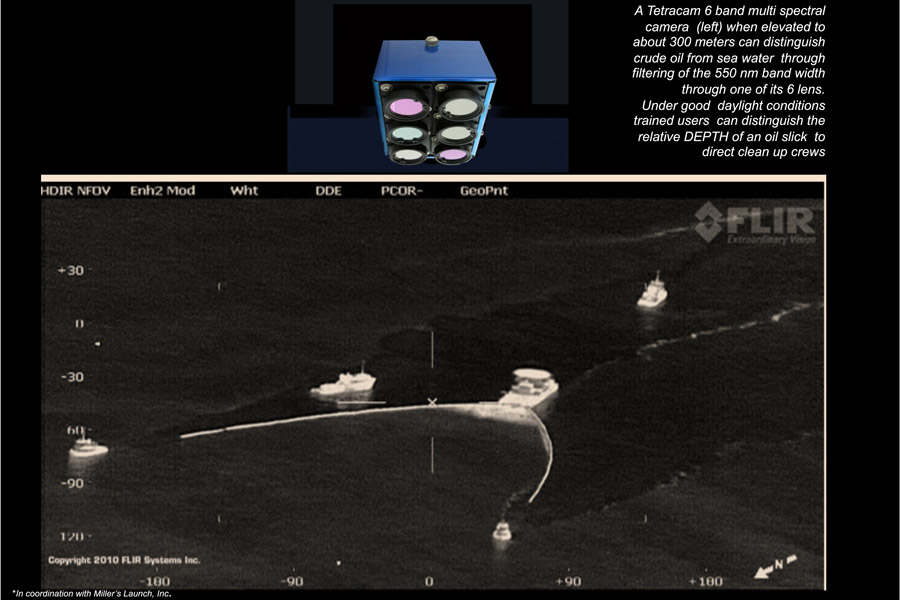
Furthermore, our equipment is designed to loft, remotely control. and preview multiple imaging, detection, and communication technologies. These include (but are not limited to): high-resolution full-frame DSLRs (visible spectrum), Thermal (infrared) Imaging, multi-spectral Imaging, HD video, radio transceiver, communications repeater, FAA lighting, radiation detection equipment, and air pollution sensors.
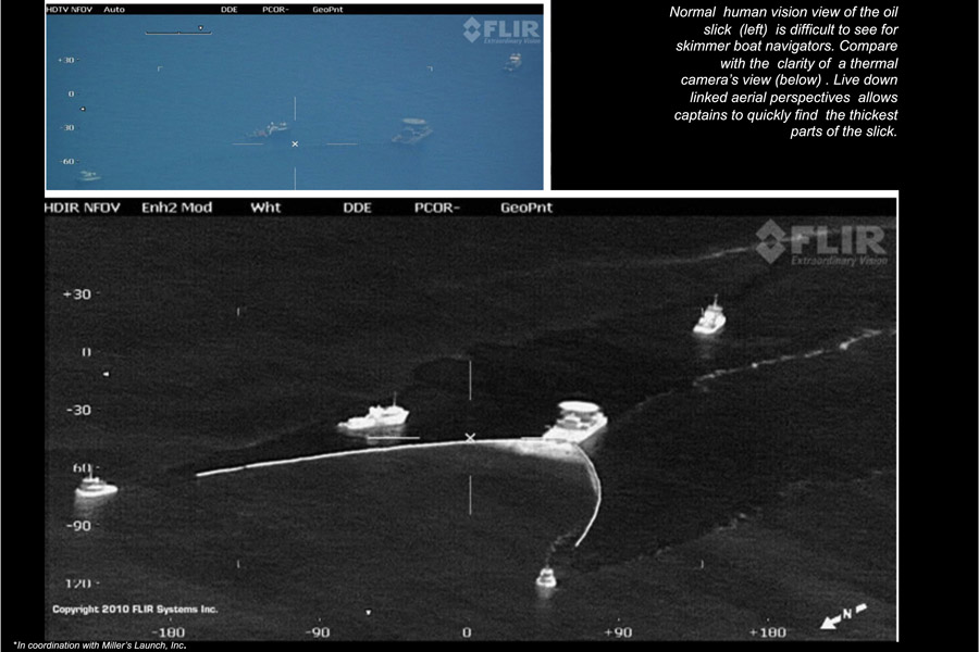
By providing a live downlink of the multi-spectral aerial perspective to Emergency Management Services, environmental pollutants, such as oil, can quickly be detected, even when it is submerged several feet under the surface. This allows for a much faster response time, which is crucial in environmental cleanup.
Finally, by utilizing our aerostat-based surveillance platforms, emergency management can free up high-value assets, such as helicopters and patrol planes for other tasks.
Rapid Deployment aerostat system
Modular and Scalable Design
lofts from any marine or land-based vehicles
Low Cost and environmentally friendly
Low-altitude, long-duration surveillance
lofting capabilities of numerous payloads
Live downlink
Modular and Scalable Design
lofts from any marine or land-based vehicles
Low Cost and environmentally friendly
Low-altitude, long-duration surveillance
lofting capabilities of numerous payloads
Live downlink
