Who We Are
LINE-OF-SIGHT SPECIALISTS
FAA-CERTIFIED DRONE PILOT IN COMMAND (RPIC) PART 107
LANDSCAPE ARCHITECTS
3D DESIGNERS
REMOTE IMAGING, RF, AND WX PAYLOAD SPECIALISTS
CROWD COUNT & CROWD ANALYSIS SPECIALISTS
BALLOON TEST / DRONE TEST EXPERTS
DRONE SERVICES
IMAGE ANALYSTS
SURVEILLANCE AEROSTAT PILOTS AND SAFETY OFFICERS
AERIAL PHOTOGRAPHERS
INVENTORS
LINE-OF-SIGHT SPECIALISTS
IR THERMAL BUILDING ENVELOPE AUDITORS
VISUAL IMPACT STUDY / VIEWSHED ANALYSIS EXPERTS
BALLOON SERVICES
What We Do
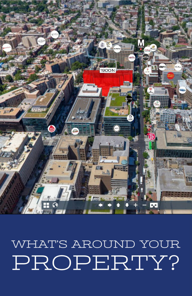
- We specialize in aerial photography, visual impact studies, viewshed surveys, and balloon tests, for marketing, zoning, site planning, and architectural design. Due to our extensive experience and specialized aircraft (surveillance aerostats and drones), we are able to access highly restricted, urban airspace, such as the DC FRZ and SFRA, when others cannot. We have captured aerial photography and provided aerial viewshed studies for many of the tallest buildings across the US. Our moored balloon is often flying in Washington, DC, and New York City. if you see an aerostat over the city, it’s probably us.
- Site plan proposed landscape, architectural and engineering designs.
- Fly various payloads over cities to help city planners understand the visual impact of zoning density changes
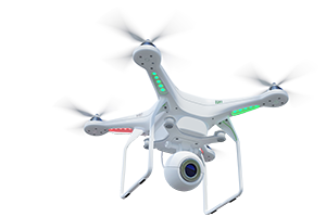
- Due to our unique surveillance aerostat balloon technology, we can legally, safely get places where other types of aircraft, such as UAVs and manned helicopters cannot.
- DDIS has a blanket Certificate of Authorization granted by the Federal Aviation Administration, Transportation Safety Administration and the National Capital Region Coordination Center to operate inside the DC FRZ.
Why We Do It
- Architects and developer clients want to us to survey and evaluate the view from proposed skyscraper sites. We advise which proposed building designs should have the the most valuable views. They take our calculations, reports and documentation to guide them in locating windows, balconies, solar panels and amenity decks. Our specialized aerial platform gets our sensors up to the right altitudes to sample height specific viewsheds, wind speeds, ambient noise and air pollution —-years before the actual tenants move into the building.
- NASA scientists and climatologists want us to lift payloads that are slated to go into outer space.
- Signage designers and marketing agencies ask us to fly our specialized aerostat balloon to get an idea of how large a sign needs to be for maximum legibility from various roads and metro stations.
- Event planners and the news media hire us to measure and calculate the size of a crowd attending large outdoor events
- Telecoms hire is to aerially map radio frequency (RF) signals to support and document the value of various critical communication frequencies.
- Security agencies want to place various infrared, optical, RF and communication relays on our tethered surveillance balloon to monitor drones and other national security threats
Experience Matters
SATISFIED CLIENTS
We take pride in our customer service and satisfaction. Many of customers come back to us project after project and refer our services to their colleagues.
Viewshed and Visual Impact Analysis
We don’t just provide imagery, we specialize in viewshed and visual impact analysis. Need to understand your visual floor-by-floor visual assests? Want to understand how a proposed cell tower will impact a historic (SHPO) site? We can help.
Flights
With 4000+ flights, we bring decades of experience to the table.
Always Evolving Technology
We are constantly adapting and evolving to the latest technology to provide our Clients with the best service possible.
AERIAL PHOTOGRAPHYOur Dedicated Team
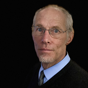
PRESIDENT | DIRECTOR OF RESEARCHCurt Westergard
Westergard has designed, built, tested and seeks patents on various custom balloons, launch trailers, optics platforms, used to to support drones and aerostats. His long term research focus has been on design and building equipment for time lapse aerial visualizations of tall engineering projects. His firm has over 4000 aerostat balloon ‘ascensions’ over NYC, San Francisco, and Washington DC. He has 26 years experience creating visual impact simulations of proposed skyscrapers, power lines, and cell towers in the US & Europe. Curt has taught landscape architecture at Michigan and Morgan Universities, given guest critiques and a professional development course at Harvard University, an imaging seminar at Yale, and design visualization courses in Belgium, Germany, Switzerland. He is a member of the Explorers Club and former Chairman of the American Institute of Aeronautics and Astronomics Lighter than Air Technical committee.
He enjoys free time with his wife and two sons.
Education: BA–Ithaca College, Masters in Landscape Architecture from Cornell University, & Ph.D. (coursework only) in the perception of 3D Visualizations from the University of Michigan.
He enjoys free time with his wife and two sons.
Education: BA–Ithaca College, Masters in Landscape Architecture from Cornell University, & Ph.D. (coursework only) in the perception of 3D Visualizations from the University of Michigan.
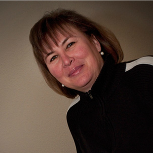
ControllerInge De Mey Westergard
As Financial Controller, Inge works behind the scenes at DDIS balancing accounts, transferring checks and other high level administration decisions. She also organizes and manages the DDIS internship program and assists with business travel arrangements. Her hobbies include languages and travel.
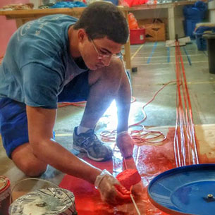
PAYLOAD ENGINEERDaraius Boston
Daraius, previously a summer intern, has joined DDIS as a Payload engineer. Daraius supports DDIS through 3D modeling, 3D printing, and other engineering tasks.


